The simple Bouguer gravity map of Rhode Island
FREE

Connecticut/Rhode Island Atlas and Gazetteer (Connecticut, Rhode Island Atlas & Gazetteer) by DeLorme (2010) Map
5,139 D

What's Great about Rhode Island? (Our Great States)
1,698 D
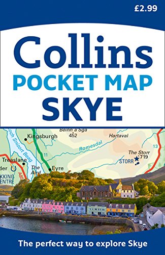
Skye Pocket Map: The perfect way to explore Skye
1,099 D

buyartforless IF CCA3001-DM20 16X20 1.5" Black Plexi Framed 1917 Cape Cod & Rhode Island Vintage Railroad Map 16X20 Art Print Poster Wall Decor
6,989 D

Rand McNally Easy To Fold: Connecticut, Rhode Island (Laminated Fold Map) (Easyfinder Maps)
844 D

Ridgeway XT40 (Route Maps) (Trail Map XT40)
2,069 D

1776 Map|Title: A Chart of The Harbour of Rhode Island and Narraganset Bay|Subject: Narragansett Bay
4,459 D

Coll & Tiree Map | The Hebrides | Ordnance Survey | OS Explorer Map 372 | Scotland | Walks | Hiking | Maps | Adventure
2,149 D

Rhodos 1 : 50 000: Toeristische wegenkaart 1:150 000
1,089 D

Connectitcut / Massachusetts / Rhode Island, State Map
370 D

Caribbean Marco Polo Map (Marco Polo Maps)
659 D

Rhode Island Recreation Map & Guide
1,089 D

Old Rhode Island Map Art Print, 1816, Archival Reproduction, Unframed
4,689 D

Home Comforts Large Detailed map of Rhode Island State with Administrative divisions, Roads and Cities Vivid Imagery Laminated Poster Print 12 Inch by 18 Inch
1,120 D

1901 Map Rhode Island|Newport|Rhode Island of Newport, R.I Includes Index, Table of Distances, a|Vintage Fine Art Reproduction|Ready to Frame
2,941 D

Rhode Island Flag Canvas Wall Decor - 8x10 Decorative RI State Map Silhouette Encyclopedia Art Print - Ready To Hang - Home State Love Handmade Gifts - Rhody Decorations
1,298 D

Connecticut/Rhode Island Atlas and Gazetteer (Delorme Atlas & Gazetteer)
1,509 D

Easy To Read: Connecticut, Rhode Island (Rand McNally Easy to Read!) Map – Folded Map, June 5, 2015
445 D

1776 Map Rhode Island|Bristol|Narragansett Bay A Chart of The Harbour of Rhode Island and Narrag|Historic Antique Vintage Reprint|Ready to Frame
2,489 D

Rhode Island State Wall Map - 15.75" x 14" Paper
3,569 D

Rhode Island Street Atlas (Official Arrow Street Atlas)
FREE

Rand McNally State Map Connecticut / Rhode Island: Easy to read!
3,263 D
Get the App